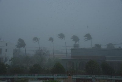
New Delhi, Cyclonic circulation over southern Peninsula during May 19-21 and the Western Disturbance during May 22-24, among other reasons, brought in rainfall that turned the pan-India deficit pre-monsoon rainfall into little surplus for the forecasting week ending on Thursday.
During the week ending on May 25, for the country as a whole, the weekly cumulative all India rainfall departure from its long period average (LPA) was plus 65 per cent with weekly cumulative over northwest India as 73 per cent, while all India cumulative rainfall during this year's pre-monsoon season's rainfall scenario (March 1 to May 25) is above LPA by 4 per cent, data from India Meteorological Department (IMD) showed.
However, even with 73 per cent excess rainfall this week, the cumulative rainfall for the region is below LPA by minus 65 per cent. Similarly, central India, which had 71 per cent more than LPA, showed minus 39 per cent departure from the LPA.
Movement of an active Western Disturbances during May 22-24 across northwest and adjoining plains of India with induced low pressure area over northwest Rajasthan and neighbourhood on May 23 and persistence easterly wind pattern at lower levels across Indo-Gangetic plains at lower level in the region, had caused fairly widespread to widespread rainfall/thunderstorm activity over western Himalayan region and adjoining plains of India during the period.
Under the influence of both these systems, significant wet spell occurred over these areas and also heavy rainfall was witnessed at isolated places over plains i.e. over west Uttar Pradesh and Haryana on one or two days and thunder squall had been reported over the plains during May 22-24.
For south peninsula, under the influence of a cyclonic circulation in the lower/ middle tropospheric levels tilting southwestwards with height, widespread pre-monsoonal rainfall/thunderstorm activity had occurred over Kerala, Mahe, and Karnataka during the first half of the week with isolated heavy to very heavy rainfall had occurred over these areas during May 19-21.
Meanwhile, under the influence of an east-west trough in the lower tropospheric levels extending from northwest India to northeast India and north-south troughs/cyclonic circulations in the lower/mid-tropospheric levels over the region, fairly widespread to widespread rainfall/thunderstorm activity had occurred over parts of east and northeast India isolated heavy/very heavy rainfall was reported over parts of northeast India during May 19-21.


.jpeg)

